The Alpine Traverse: Arthur's Pass To The Wild West Coast
Published by Magnamyth Editorial • 9 min read • Highway 73 Overland Guide
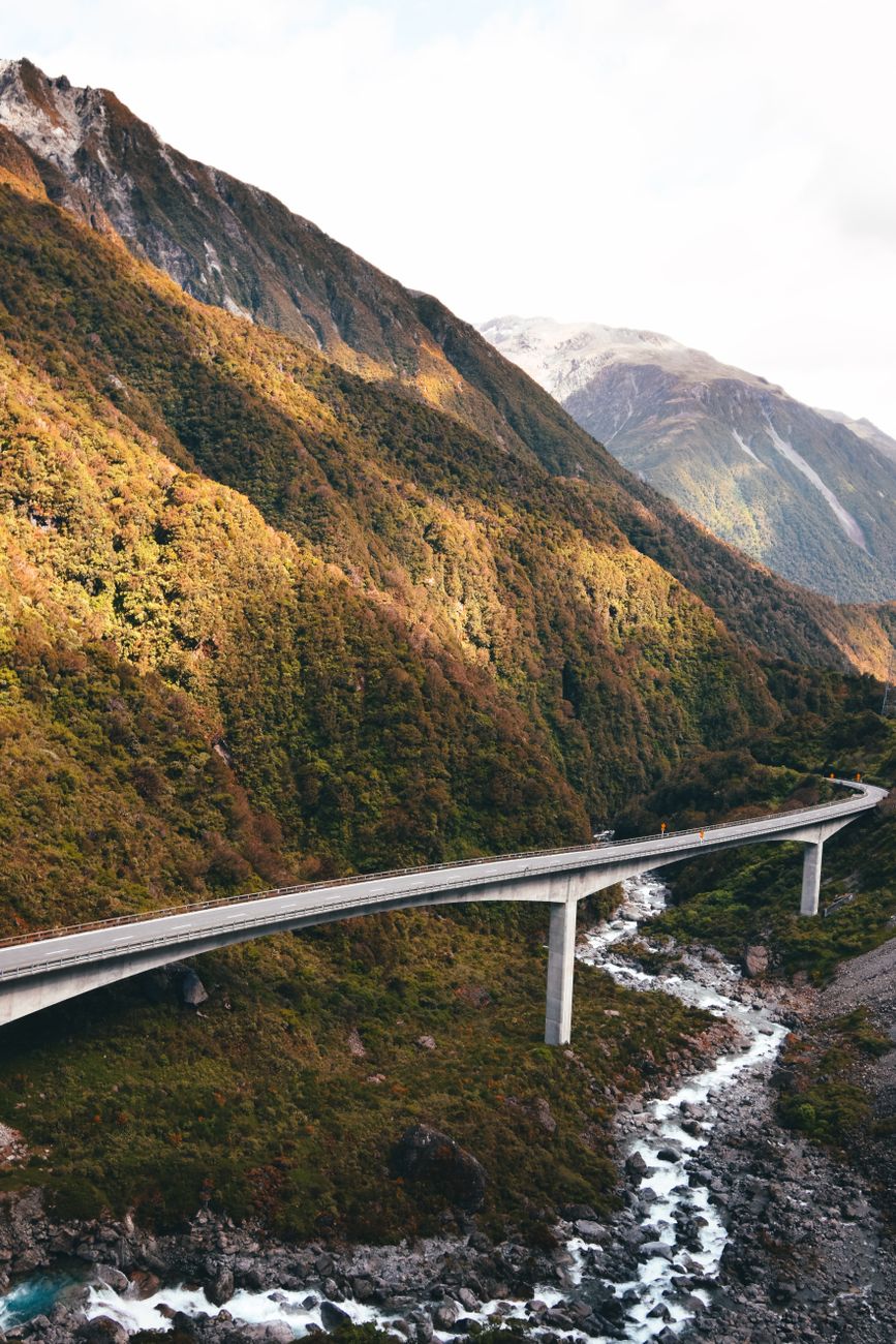
Connecting the flat agricultural Canterbury Plains on the east coast to the primeval rainforests of Westland, State Highway 73 through Arthur's Pass is one of the world’s most dramatic alpine transits.
Ascending From Castle Hill's Limestone Sculptures
Leaving Christchurch, the road ascends through the Waimakariri river valley toward Castle Hill (Kura Tāwhiti). These towering eroded limestone boulders resemble ancient ruined castles and hold deep spiritual significance for Ngāi Tahu ancestors.
As you approach Arthur's Pass Village at 737 metres altitude, the dry golden tussock grassland gives way suddenly to dense mountain beech forest draped in lichens. The air turns crisp, carrying the piercing whistle of Kea birds wheeling overhead.
Highway 73 Transit Checklist
- Check NZ Transport Agency (NZTA) road closure alerts; slips are frequent during spring storms.
- Fuel up in Springfield or Darfield; alpine fuel stations carry hefty surcharges.
- Allow double the GPS estimated driving time to accommodate photo stops at Devils Punchbowl Falls.
Engineering Feats: The Otira Viaduct
Just past the alpine divide lies the Otira Viaduct, a 440-metre concrete engineering marvel curving above a hazardous slip zone. Descending toward the West Coast, the change in climate is instantaneous: dense tree ferns (ponga), moss-covered podocarp rainforest, and misty maritime air take over within minutes.
Reaching Kumara Junction opens the gate to either Hokitika’s greenstone pounamu workshops or Punakaiki’s limestone Pancake Rocks. It is a transition between two distinct worlds completed in under three hours of attentive driving.
Need Driving Itinerary Assistance?
Our road trip blueprints outline realistic driving legs that protect you from mountain driving fatigue. Inquire with our editorial team today.
Consult With Our Team